31 March 2025
Optimistic application of sunscreen
Ma On Shan park from Choi Hung to Shek Mun station
I got up at 6 and put on sunscreen, expecting a long day of hiking, starting out cloudy but getting clearer as the day went on. The reality of that plan was somewhat different. Sunscreen was definitely not required.
First of all, getting to a spot to start the hike was a fun challenge, I got off the subway at Choi Hung station and tried to follow the road map, to walk along roads, to get to the trail start point. This was harder than following any hiking trail in existence. The roads themselves often have no footpath, and instead you have to walk along, over, under and through buildings on elevated walkways, crossing the road many times. This would be ok if some of them were not closed for repairs. On 2 occasions I doubled back, and ended up in work sites with confused traffic guards looking me over.
Once I started the hike, I was no longer lost, but I did get wet. Much of the trail was overgrown and the foliage was still wet. My legs got scratched up a bit, and at times I was ducking down inside a tunnel of bamboo.
There were zero other people, really, zero! Presumably they had a better weather report than me, because then it started raining again, unexpectedly. And it did not stop. So I was wet from multiple sources.
There were many choices for trails, and at times I was on the 2 main Hong Kong trails, the Maclehose and Wilson trails, but generally I was on lesser known less developed trails.
I did have plans to go a bit further, but it had become slippery and my feet were soaked, so I altered my plan to head down a bit sooner.
Stats time I guess....
9.74km
769m total ascent, more than I thought
3 hours 50 minutes, a short wet hike today
1209 calories burned
20,000 or so steps, but getting to and from the stations on each end added another 8k steps.
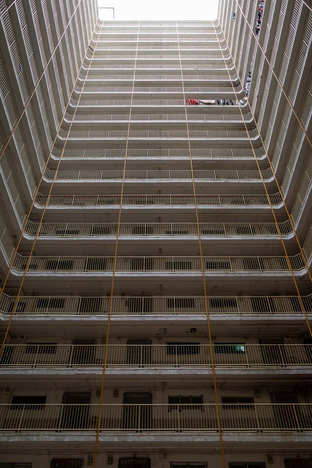
My path to the trail took me through the middle of scary style apartments. There is another wall exactly the same behind me, completely closing in this courtyard. There were 10 or so the same. Eerily quiet but I think people live here.
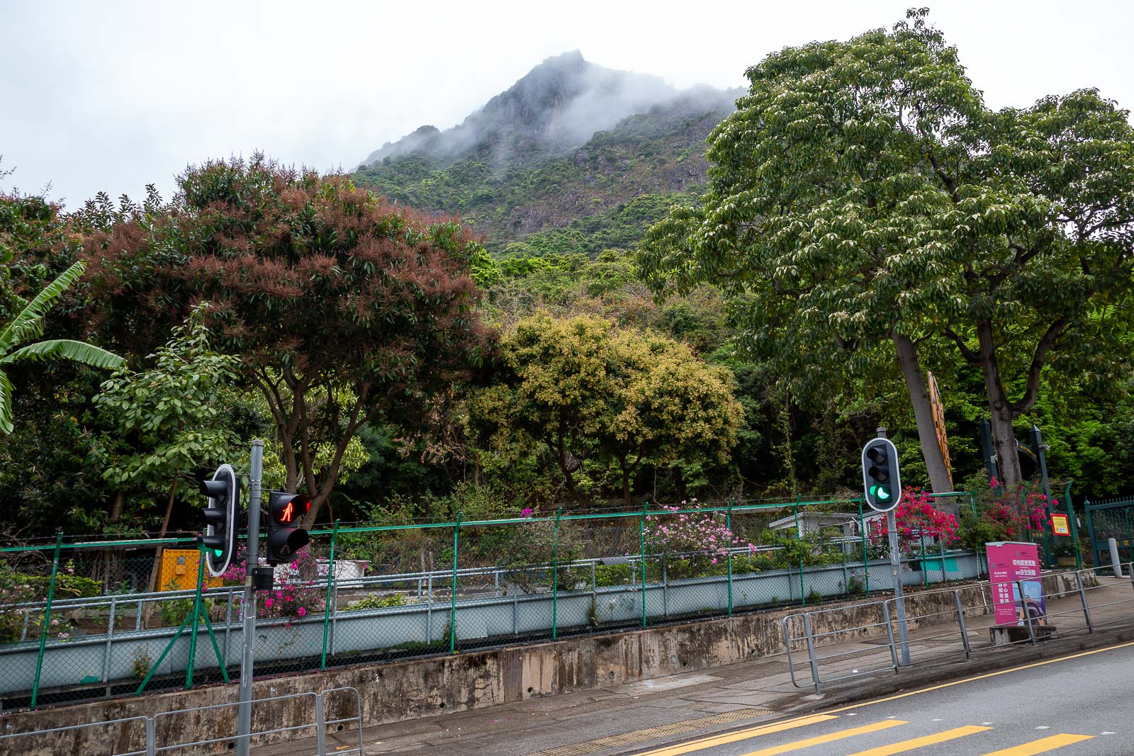
That peak will be part of my journey today. There is allegedly a way to go up the face, but I have read that the trail is no longer maintained at all and now very dangerous. Given that it was a bit damp at this point I decided to skip the dangerous path and pick a more well known trail.
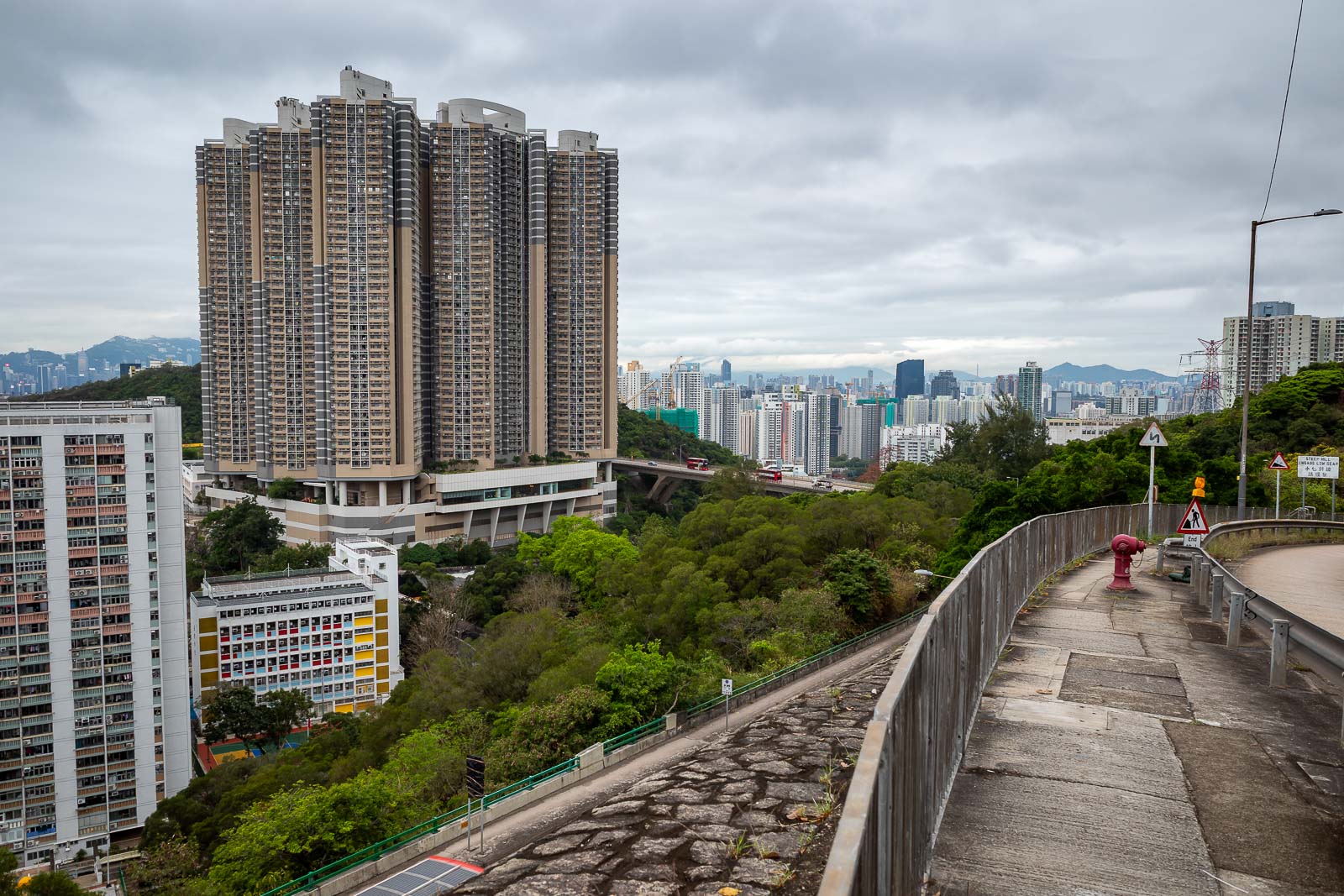
Eventually I found a footpath and progress up to the start of the trail was faster.
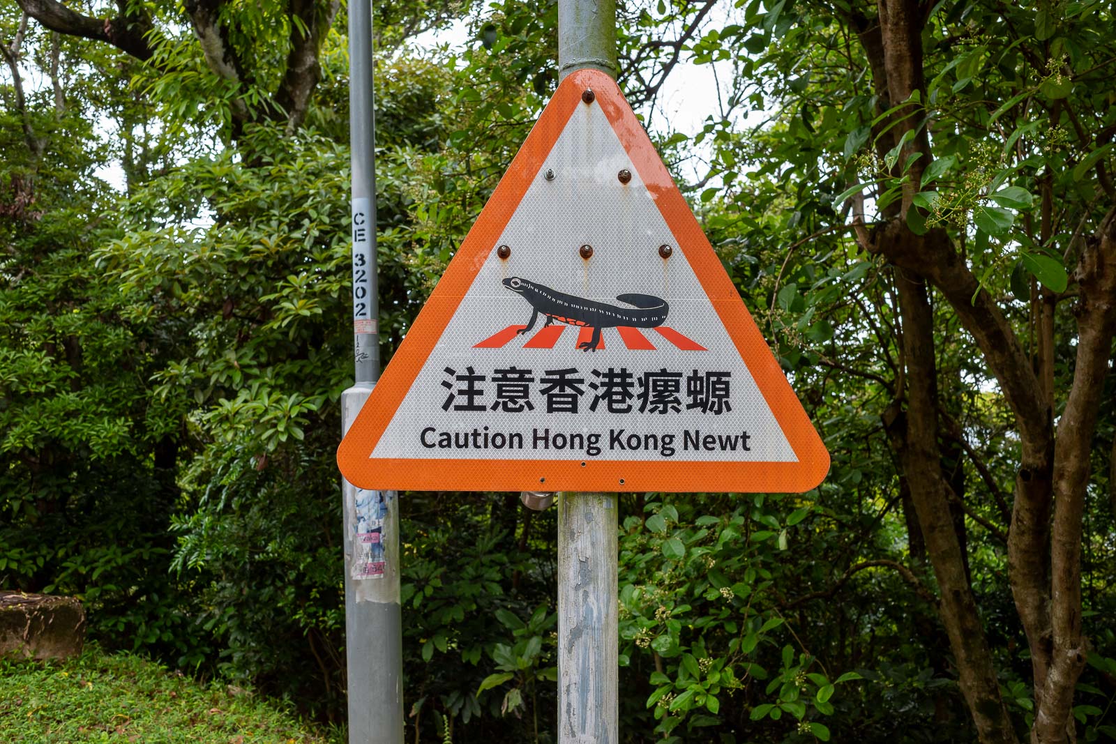
Do I need to be concerned about getting attacked by a newt? There are no bears here for me to be concerned about.
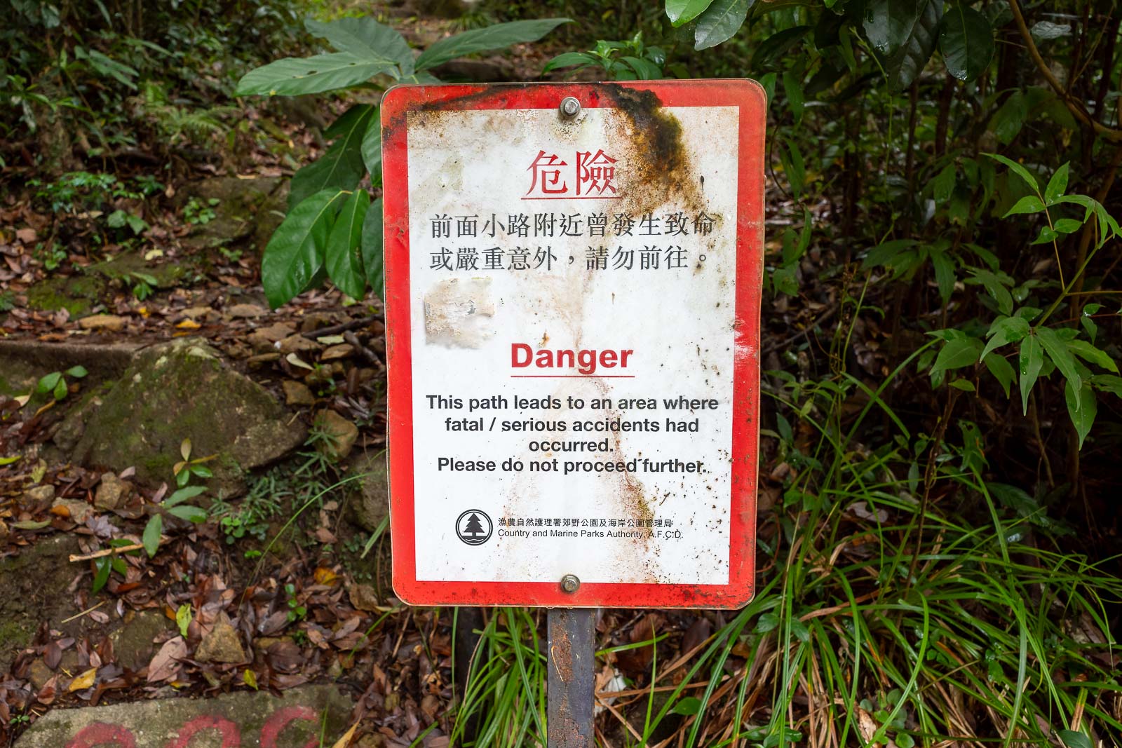
Every hiking trail in Hong Kong seems to have these warning signs, including the aforementioned Wilson and Maclehose trails advertised by the government. Everyone just ignores the signs.
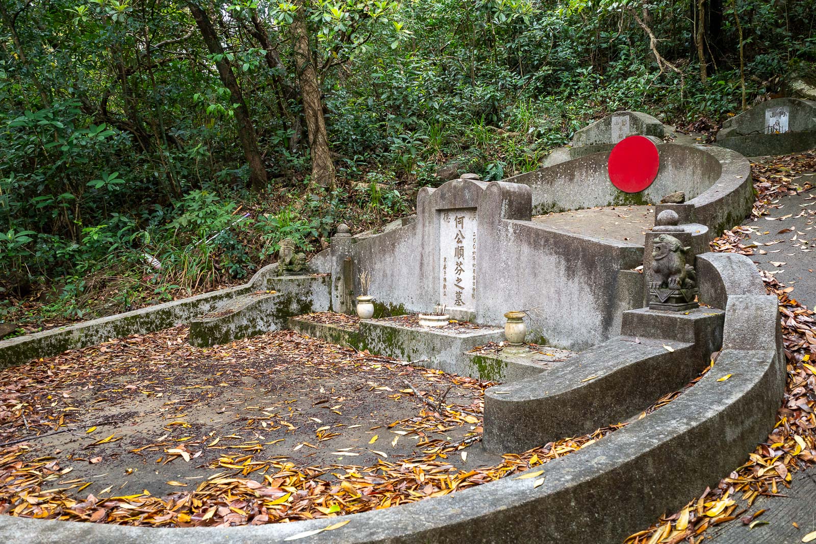
The first part of the trail was through Samurai graves, with Chinese characteristics.
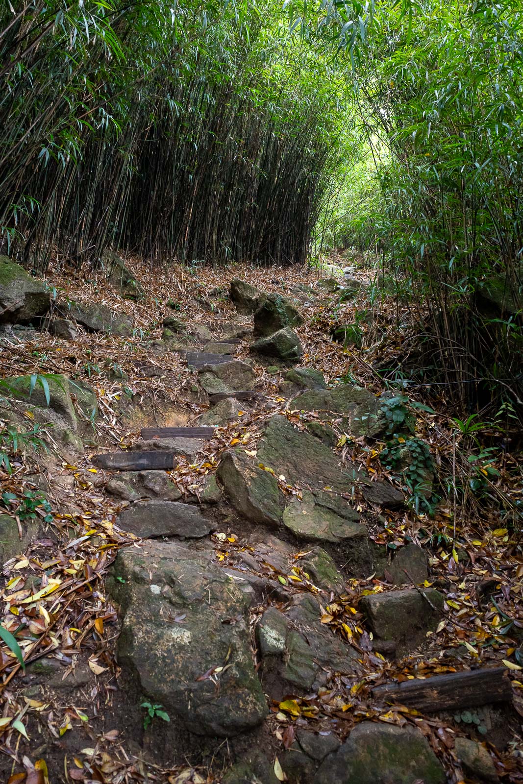
High bamboo started. This part was fine, when the path later became one foot wide with lower bamboo forming a 4 foot high tunnel, that is when things became a bit more challenging.

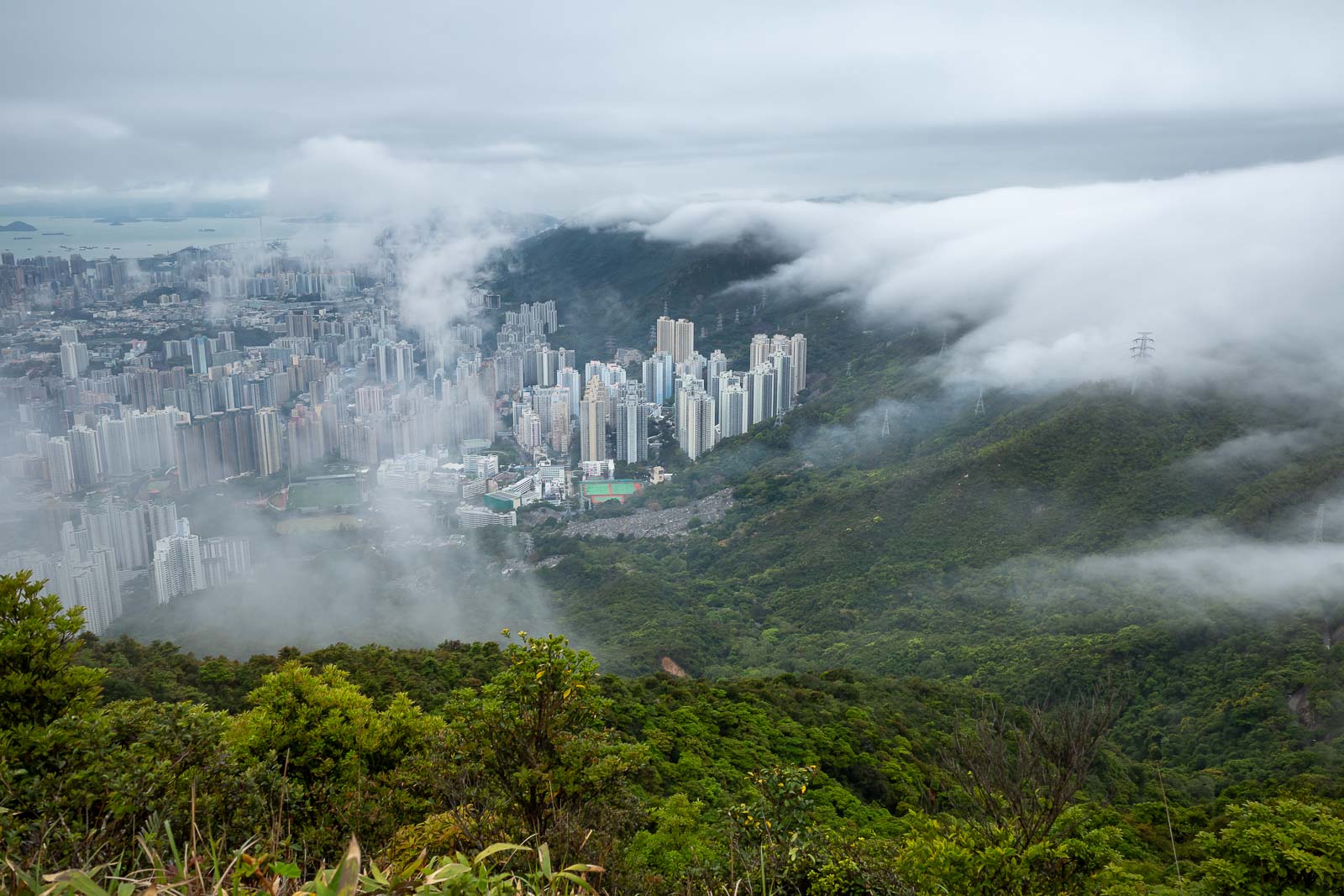
First sign of a view. I believe that yacht filled area is called Hebe Haven.
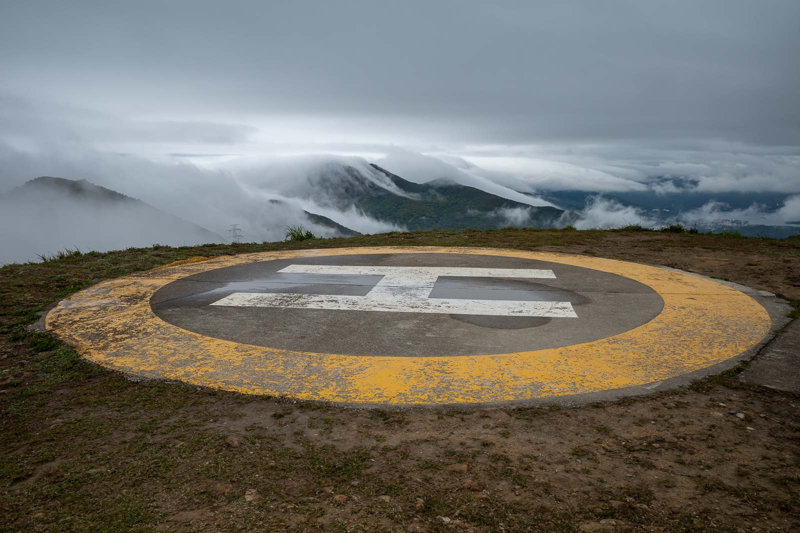
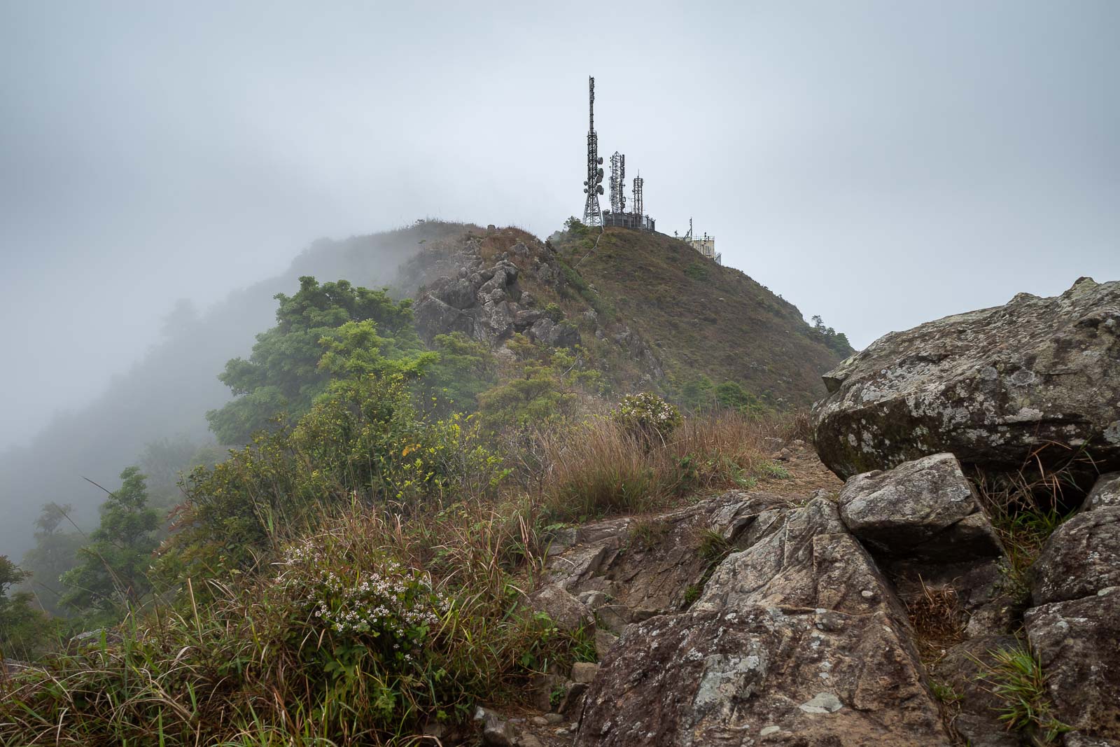
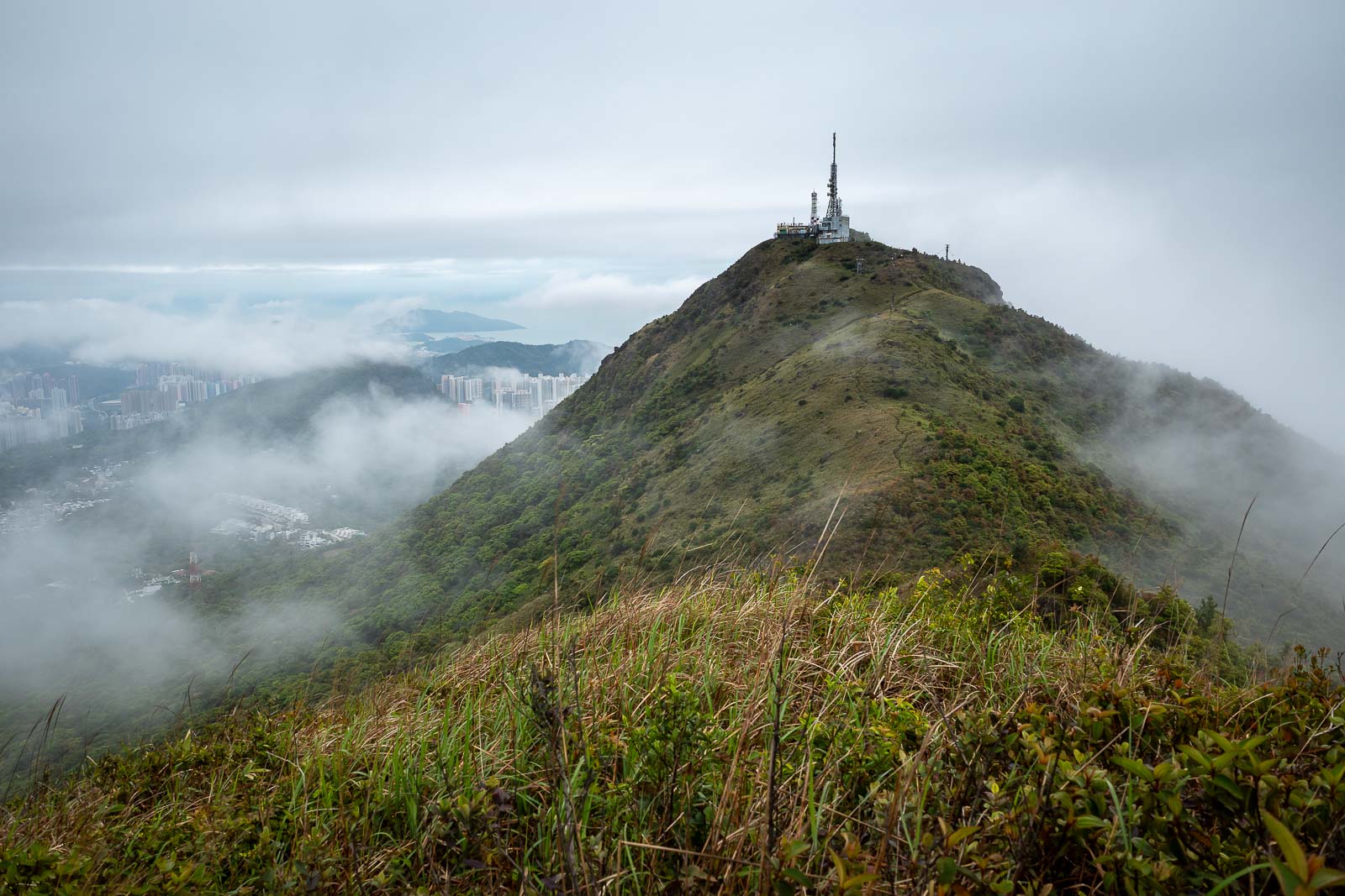
There is a giant weather station / spy satellite communication base behind me. The helicopter pad looks a lot more useable than the Korean ones. A lot more cloud is rolling in than I expected!
Here is some more view. The view shots will end soon once the rain starts.
This is a bit of a detour to 'suicide cliff', it seems to be a suggested place on google maps.
The view from Suicide cliff was decent. Getting cloudier.
That is the distance I now need to double back to push on to the other side of Ma On Shan park.
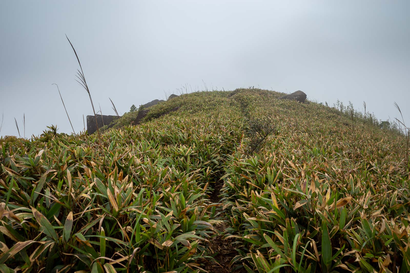
The thin trail through the bamboo started, still low bamboo at this point, but my legs and feet were already getting wet.
Nice view back from where I had come from.
Here comes the rain.
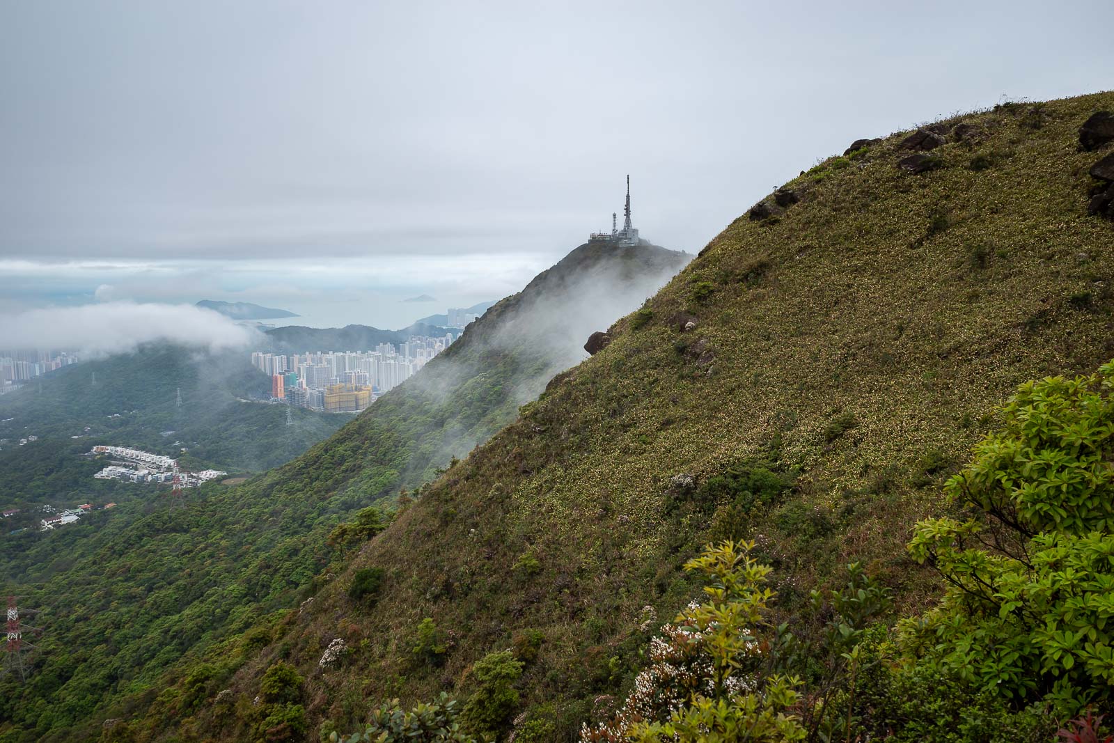
Getting further away from the spy base. The rain is just on the other side of the hill now.
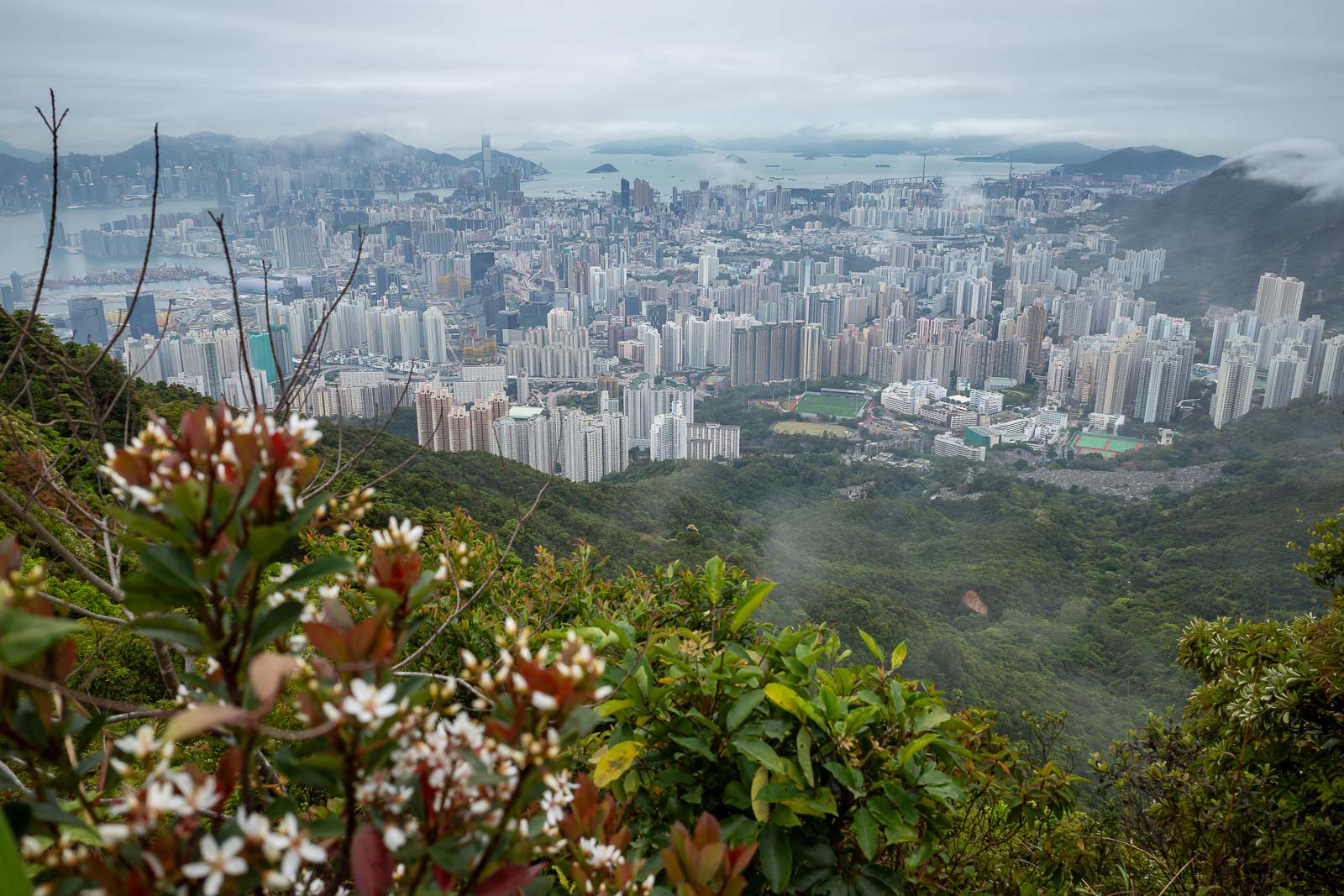
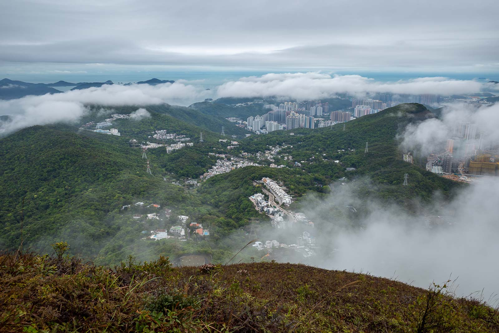
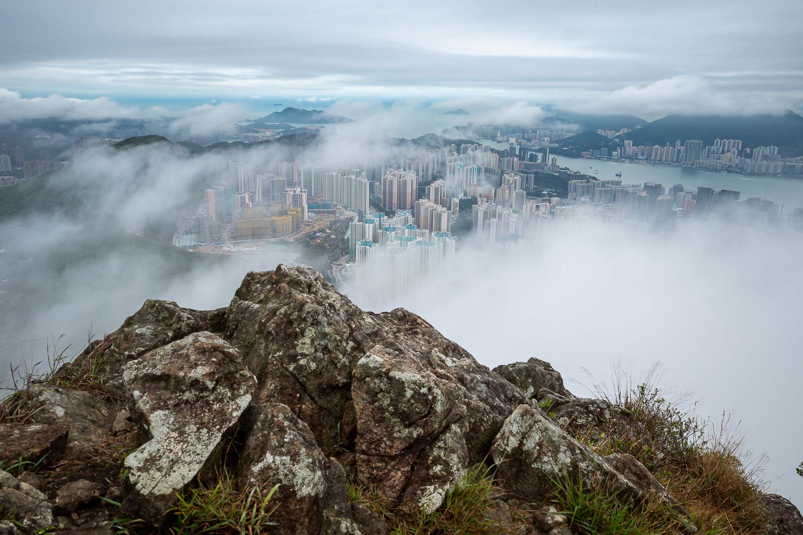
Probably the best view of the day, you can see across the Harbour to Hong Kong island on the left.
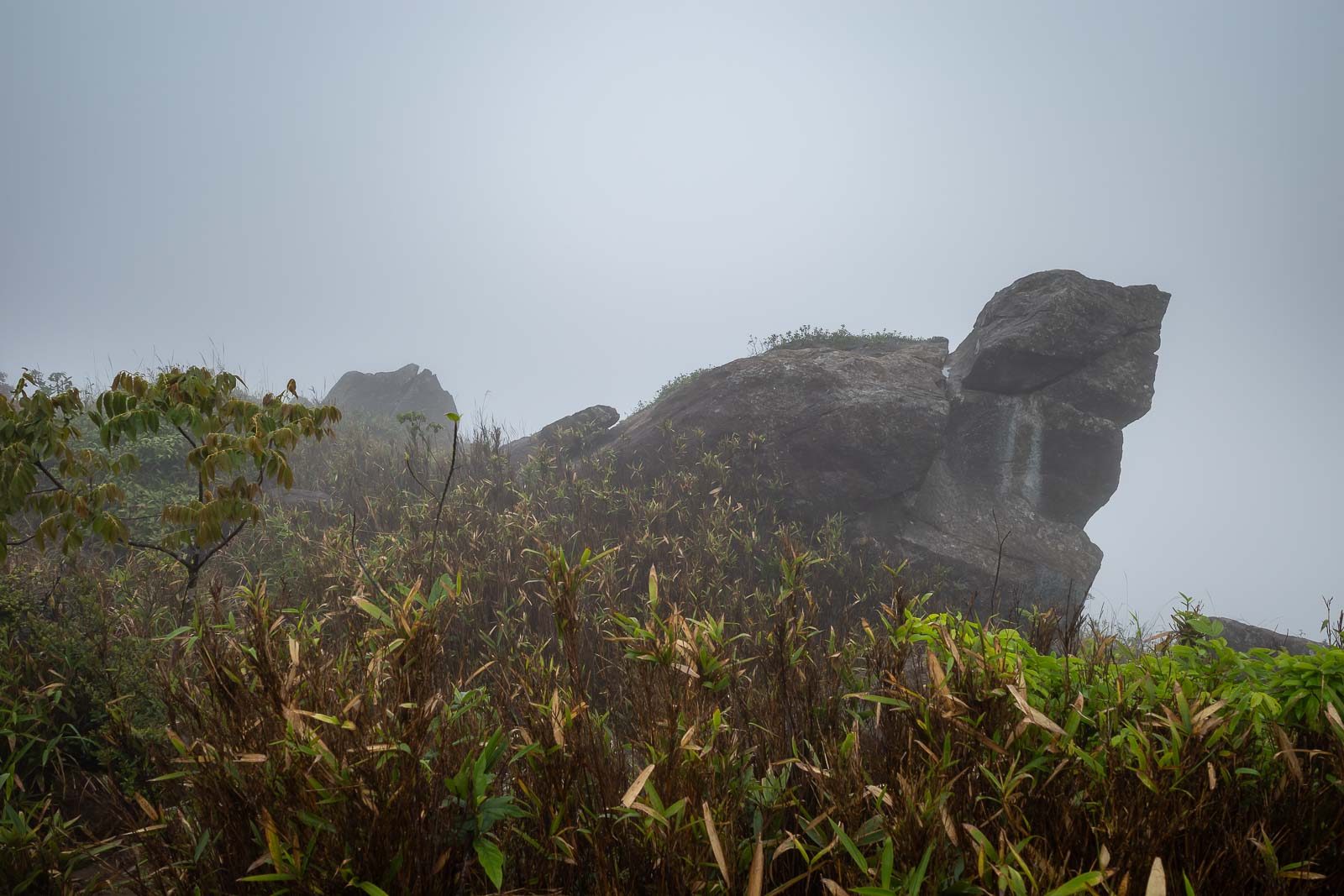
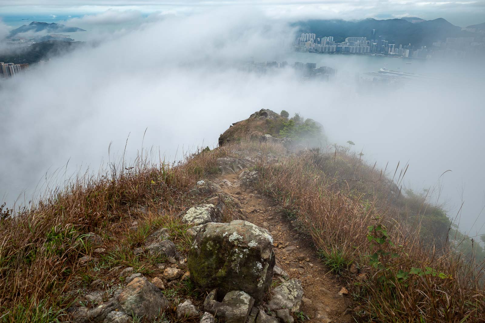
Fog has rolled in now, apparently this is rabbit rock.
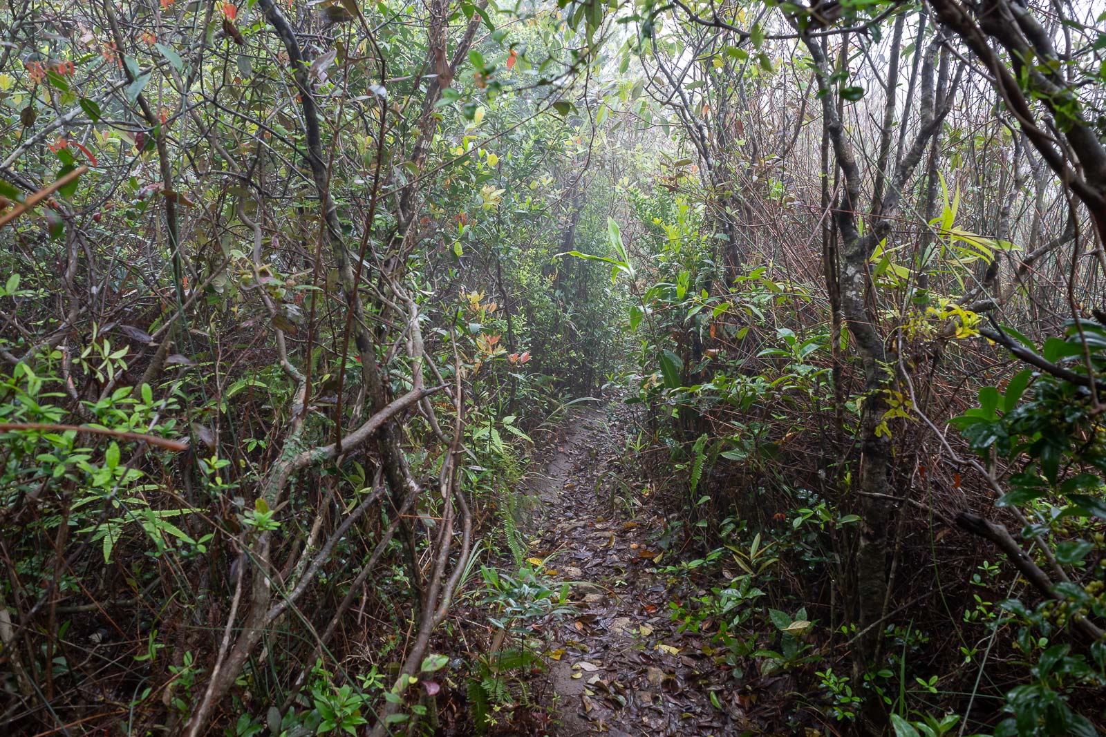
This is nothing compared to the overgrown bits from earlier, in those sections I couldn't really get my camera out at all, however this might give you an idea of the remaining trails for the day.
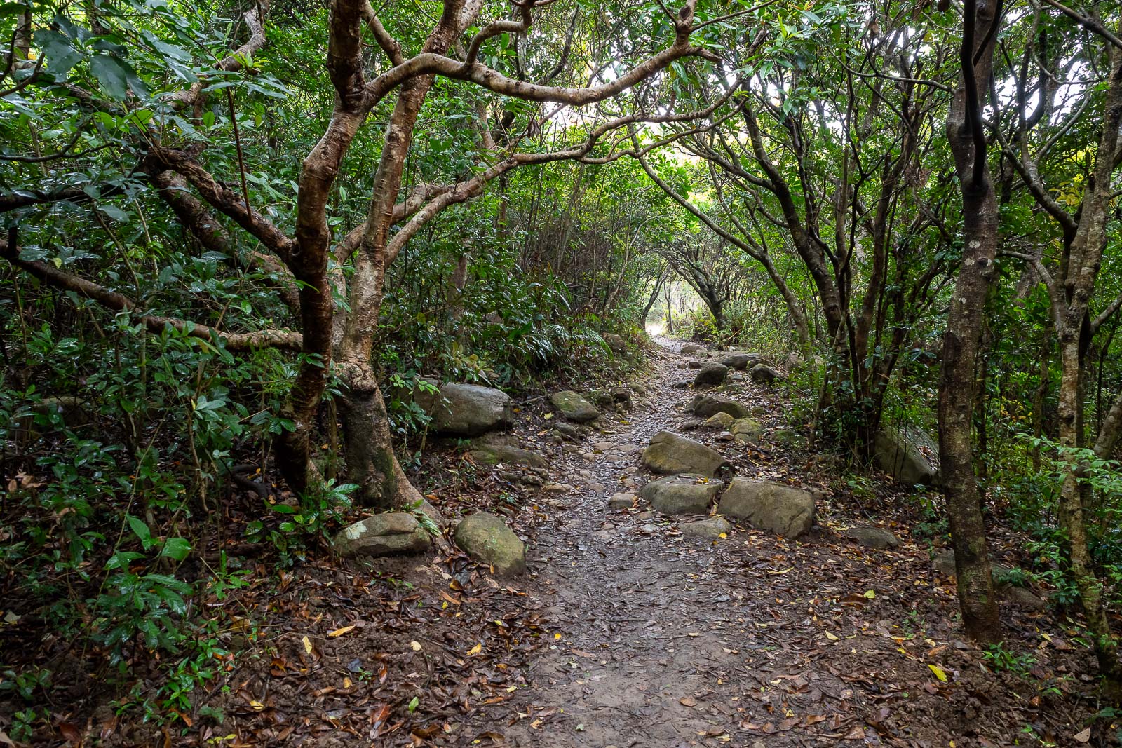
This is part of the Wilson trail, note that it is wider and flatter.
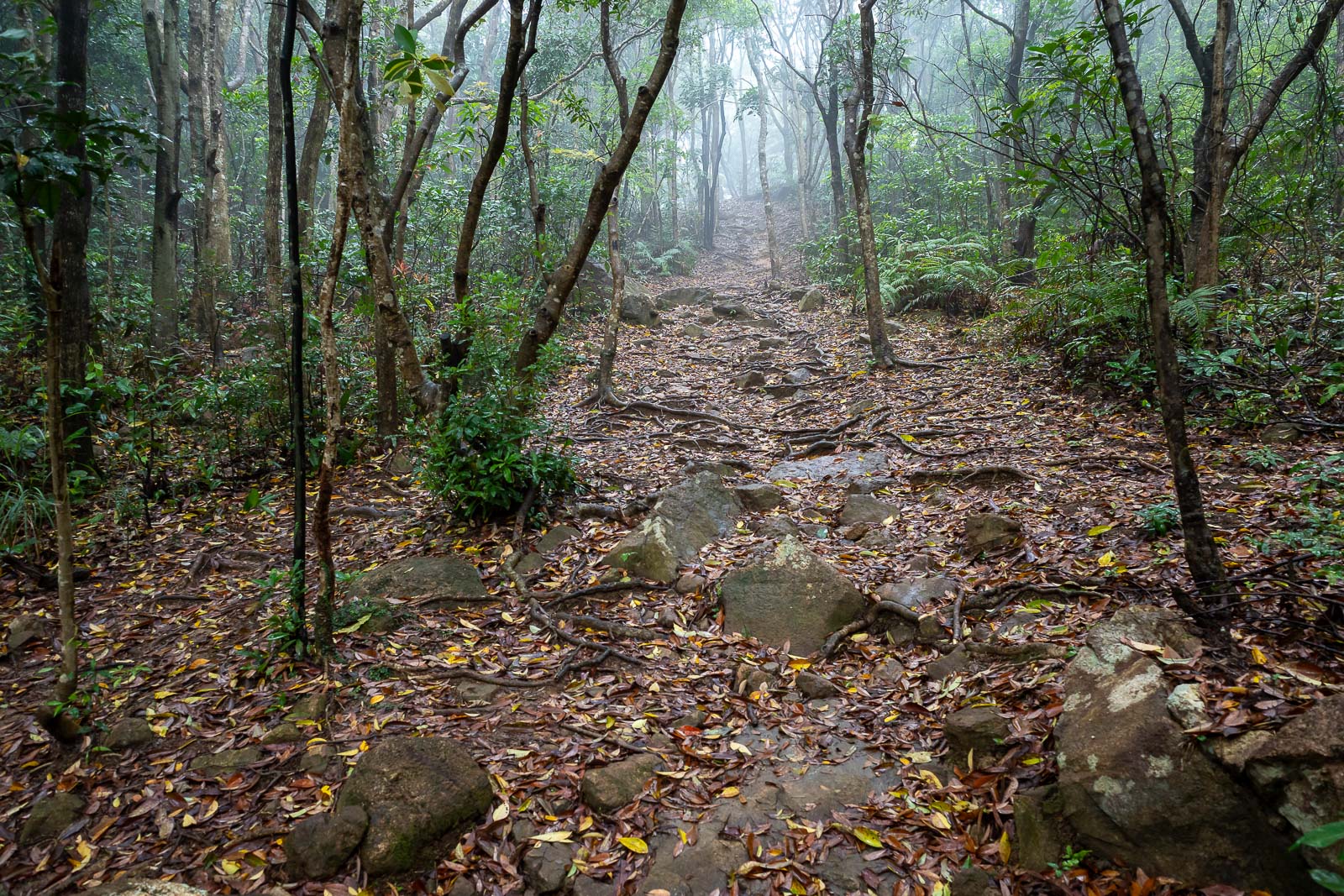
However the trails I followed most of the day were more like this, nice fog.
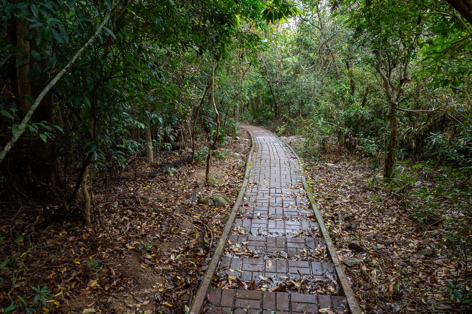
I knew I was nearly at the end when a brick staircase appeared.
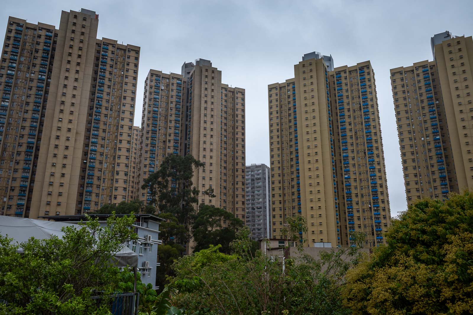
And then of course, I escaped the wet tropical hiking paradise into some more high rises. It was still about another 30 minutes walk back to the train, with wet feet.
First hike over.